Search
Home
Collection
Furniture
Copper & Bronze
Pewter
Dutch Delftware
Asian Art
Various Objects
Engravings
Royal Delft
About
Contact
Nederlands
|
English
Engravings
Filter
View all
Engravings
Topographical Engravings Amsterdam
Topographical Engravings Netherlands
Maps
Amsterdam maps
Plans Netherlands
Various Engravings
Clear
Period
Clear
17th century
18th century
19th century
20th century
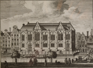
OLD LUTHERAN CHURCH. Singel / Spui. O. Dapper 1663. Antique Copper Engraving
SINGEL – Archery Doelen – J. Wagenaar 1765. Antique Copper Engraving
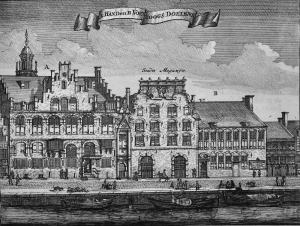
SINGEL - Stads Magazyn & De Doelen. O. Dapper 1663. Antique Copper Engraving
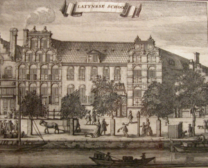
The LATIN SCHOOL - SINGEL - Casp. Commelin 1691. Antique Copper Engraving
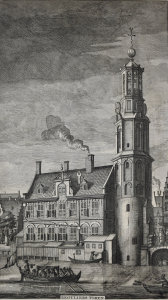
MUNT TOWER - Het Singel. O. Dapper 1663. Antique Copper Engraving: SOLD
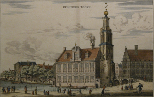
MUNT TOWER - FLOWERMARKET. Het Singel. J. Wagenaar 1760.
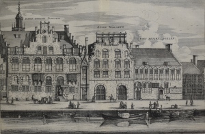
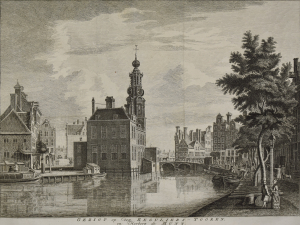
MUNT TOWER – Singel & Munt J. Wagenaar 1760
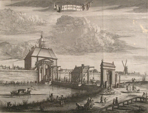
ST. ANTHONY GATEWAY - Muider Street. O. Dapper 1663. Antique Copper Engraving
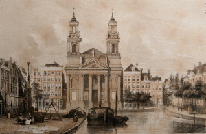
MOSES & AARON CHURCH. The WATERLOOPLEIN. J.P. Witkamp 1861. Antique Lithograph
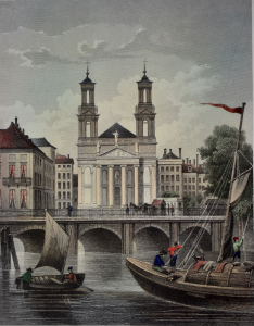
MOSES & AARON CHURCH - Waterloo Plein. J.L. Terwen 1858. Antique Steel Engraving
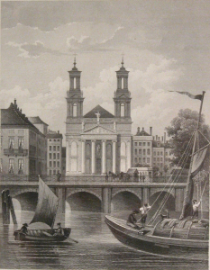
MOSES & AARON CHURCH - Waterloo Plein. J.L. Terwen 1858. Antique Steel Engraving
GERMAN SYNAGOGE / JEWISH HISTORICAL MUSEUM - Jonas Daniël Meijerplein. J. Wageaar 1760
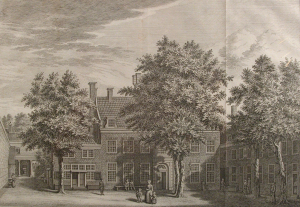
LEPRA HOSPTAL - Jonas Daniël Meijerplein Leprozenhuis. J. Wagenaar 1765. Antique Copper Engraving
GERMAN SYNAGOGE / JEWISH HISTORICAL MUSEUM - Jonas Daniël Meijerplein. J. Wageaar 1760
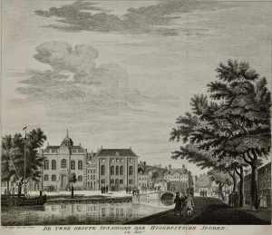
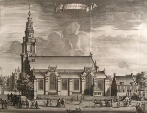
The ZUIDER CHURCH. J. Wagenaar 1760. Antique Copper Engraving
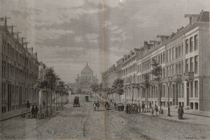
FREDERIKSPLEIN / OOSTEINDE. P.H. Witkamp 1869. Antique Lithograph. SOLD
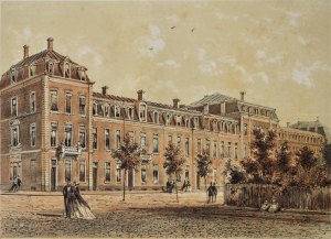
PALEIS voor VOLKSVLIJT - Sarphati Street. Tjeenk Willink 1883. Antieke Gravure / Prent. SOLD
GATEWAY to WEESP - Weesperstraat. C. Commelin 1691. Antique Copper Engraving
<
1
…
9
10
11
12
(current)
13
14
15
…
25
>