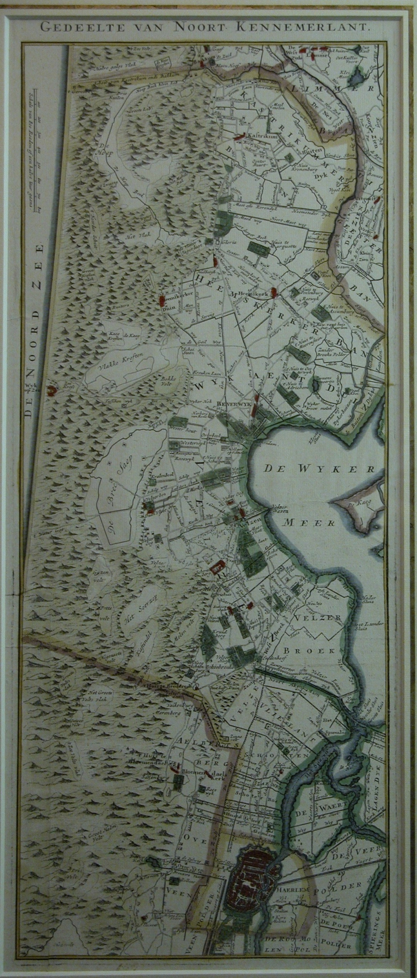
Map Noord Kennemerland – Area Haarlem by Andries & Hendrik de Leth - Circa 1730. SOLD
Original antique copperengraving. Handcoloured.
“GEDEELTE VAN NOORT KENNEMERLANT”
Title in top op the map.Top left the Nordsea and scale-bar of 800 Roeden or half an hour to go.
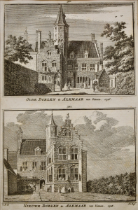
From: Het Zegepralende Kennemerlant, vertoond in 100 heerlijke Gezichten van Kastricum, Heemskerk, Beverwyk, Velzen, Bloemendael, Overveen, Vogelezang, Zantvoort, Haerlem, Heemstede, Berkenrode & Bennebroek by H. de Leth.
Published in: Amsterdam by Andries and Hendrik de Leth, circa 1730. Andries and Hendrik. de Leth ( father & son ) were located ”op de Beurs- sluys in de Visser.” Near the Dam in Amsterdam. The book contents: 100 views (incl. 10 townmaps), 2 title engravings and one (this )map
Format engraving: 56,5 x 22,5 cm. ( 25,1 x 8,9 inches.)
Framed in burr-walnut and coloured acid-free passe-partout
Height: 76 cm. (29,9 inches.)
Width: 42 cm. (16,5 inches.)
- Reference
- WP.052
- Price
- sold
- Share